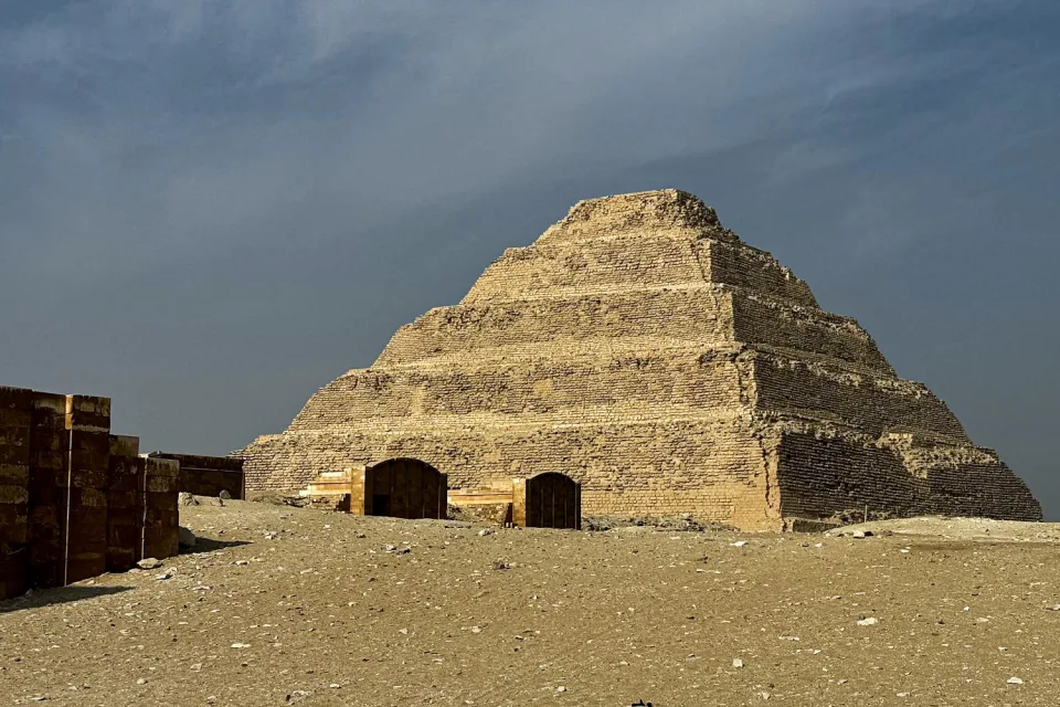
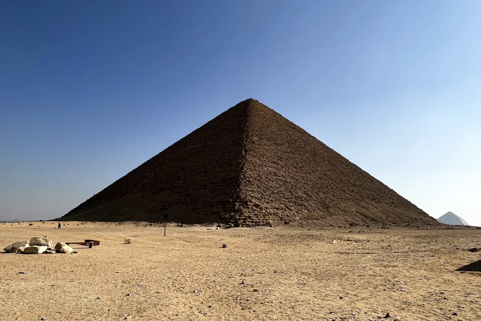
– A new study provides evidence that an ancient branch of the Nile River once flowed through the area where many Egyptian pyramids were built, including those at Giza.
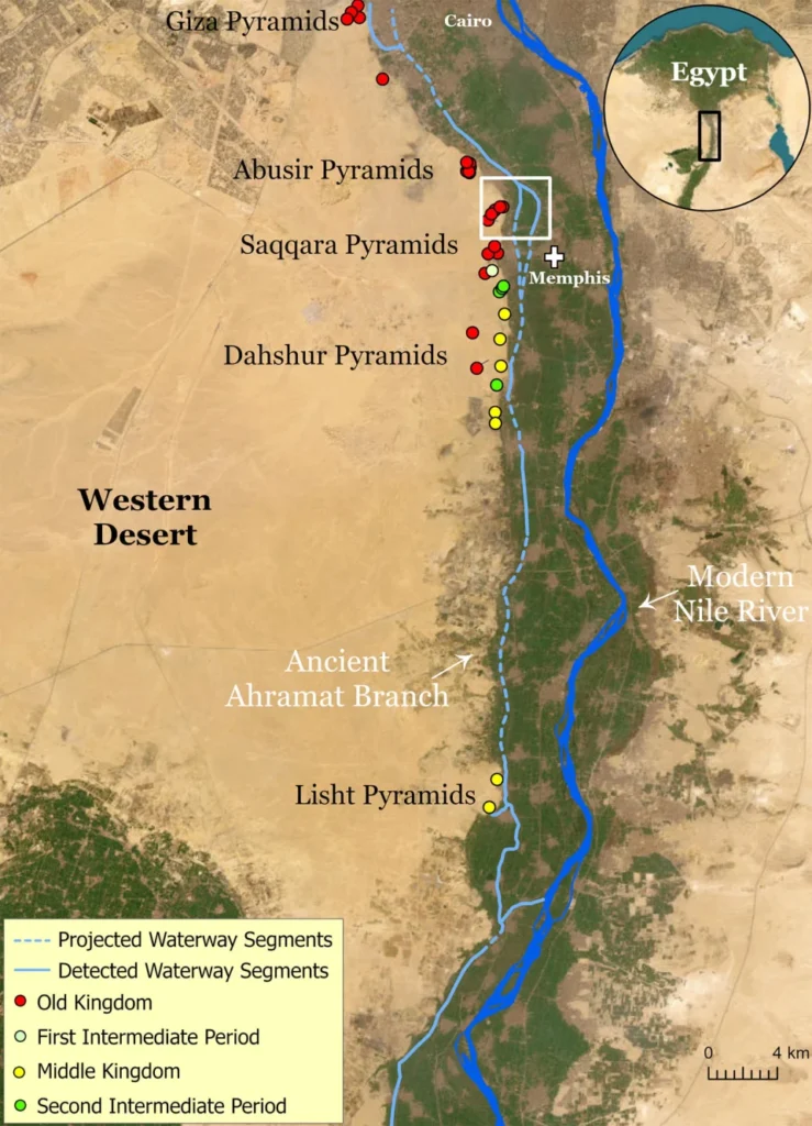
– Using satellite data, sediment cores, and 1911 maps, researchers were able to trace the path of this extinct branch of the Nile, called the Ahramat Branch.
– They found the locations of 31 pyramids constructed over 1000 years correlated with the estimated path of the ancient river branch as water levels changed over time.

– Several pyramid temples and causeways also appear aligned with the buried riverbed, suggesting direct connections to transport building materials by boat.
– This would have made construction of the massive pyramids more logistically feasible compared to overland transport without wheels. Rocks weighing multiple tons were moved.
– The findings imply Egypt’s climate was once wetter, with the Nile splitting into multiple branches before gradually drying up due to drought and landscape shifts.

– The study provides new evidence that an intact waterway once existed closer to the pyramid sites than previously thought, aiding the monumental construction projects of the ancient Egyptians.
Source: NBCNews


