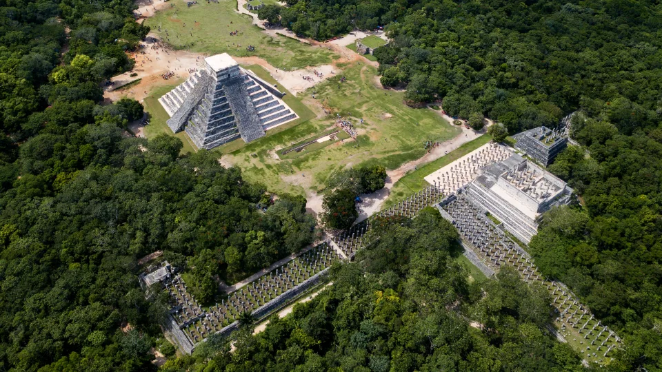
– Space archaeologists are finding more Mayan ruins in Central America than ever before due to advances in satellite technology.
– Lidar (light detection and ranging) sensors on satellites can see through dense forest canopies to detect structural features of buried Mayan sites.
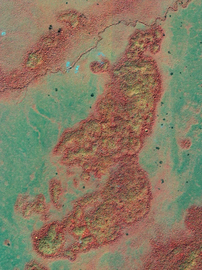
– In the past 10 years, archaeologists have mapped more Mayan structures and ruins using lidar than in the previous 150 years of on-the-ground excavation.
– One project in Belize has discovered 28 new monumental Mayan sites just by analyzing lidar data, covering an area 10 times the size of Manhattan. Excavations are planned.
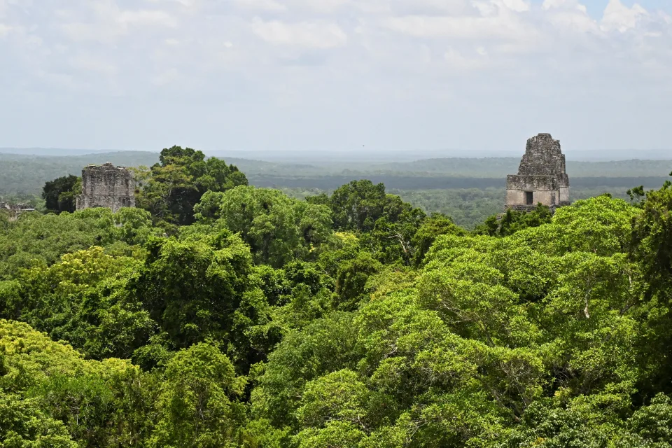
– Studying how the Mayans adapted infrastructure like canals, terraces and water storage could provide lessons for modern climate change adaptation.
– Satellites allow mapping larger areas more frequently than before, but access to high-resolution imagery and AI analysis tools is still limited by cost for many archaeology teams.


